Introduction
Biodiversity monitoring is a critical component of conservation efforts aimed at understanding and preserving the variety of life on Earth. It involves the systematic observation and assessment of different species and their habitats to ensure the health and resilience of ecosystems. In an era of rapid environmental change, the need for effective monitoring strategies has become more pressing than ever. Traditional methods of biodiversity assessment can be labor-intensive, time-consuming, and often limited in scope. Therefore, embracing technological advancements is essential to enhance our efforts in this field.
The advent of artificial intelligence (AI) and satellite drones is revolutionizing the landscape of biodiversity monitoring. AI algorithms are capable of analyzing vast amounts of data collected from various sources, significantly improving the accuracy and efficiency of ecological studies. Meanwhile, satellite drones offer an innovative aerial perspective, allowing researchers to capture high-resolution images and gather extensive data over large geographical areas without disturbing wildlife. This integration of technology enables ecologists to monitor biodiversity changes in real-time, making it possible to respond promptly to environmental threats.
As we delve further into the impact of AI and satellite drones on biodiversity monitoring, it is crucial to recognize the advantages these technologies bring to the fore. They not only aid in identifying species but also in tracking their populations and movements. This information is invaluable for making informed conservation decisions and implementing effective management strategies. Furthermore, the capacity for continuous monitoring facilitates long-term studies that are essential for understanding ecological trends and variations over time. By harnessing the power of technology, we can enhance our understanding and protect the delicate balance of life on our planet.
Understanding Biodiversity Monitoring
Biodiversity monitoring is a critical process that involves systematically assessing and recording the variety of life forms within a given ecosystem, including plants, animals, fungi, and microorganisms. Traditionally, this has been accomplished through field surveys, where researchers observe and record species in their natural habitats. These surveys can take several forms, such as transect walks, point counts, and camera trapping, each aimed at collecting valuable data on species populations and their distributions.
However, manual monitoring approaches come with significant limitations. Field surveys are often labor-intensive and time-consuming, requiring substantial human resources and financial investment. Furthermore, they can be influenced by human biases or errors, affecting the accuracy of the data collected. Factors such as weather conditions, accessibility of the terrain, and time constraints can also hinder the effectiveness of traditional methods, leading to incomplete or outdated information on species and their habitats.
As the pressures on biodiversity mount due to climate change, habitat destruction, and pollution, the need for more efficient and robust monitoring solutions becomes increasingly apparent. This has led to a heightened interest in the integration of technology and remote sensing methods to enhance biodiversity assessments. Advances in satellite imagery and drone technology promise unprecedented capabilities for capturing extensive ecological data with greater accuracy and cost-efficiency.
These technological innovations enable researchers to gather information over vast areas quickly and continuously, facilitating a better understanding of species distribution and habitat changes. As a result, organizations and governments are turning toward these modern solutions to foster effective environmental management and conservation strategies, ensuring a more sustainable approach to preserving our planet’s rich biodiversity.
The Role of Satellite Drones in Environmental Surveillance
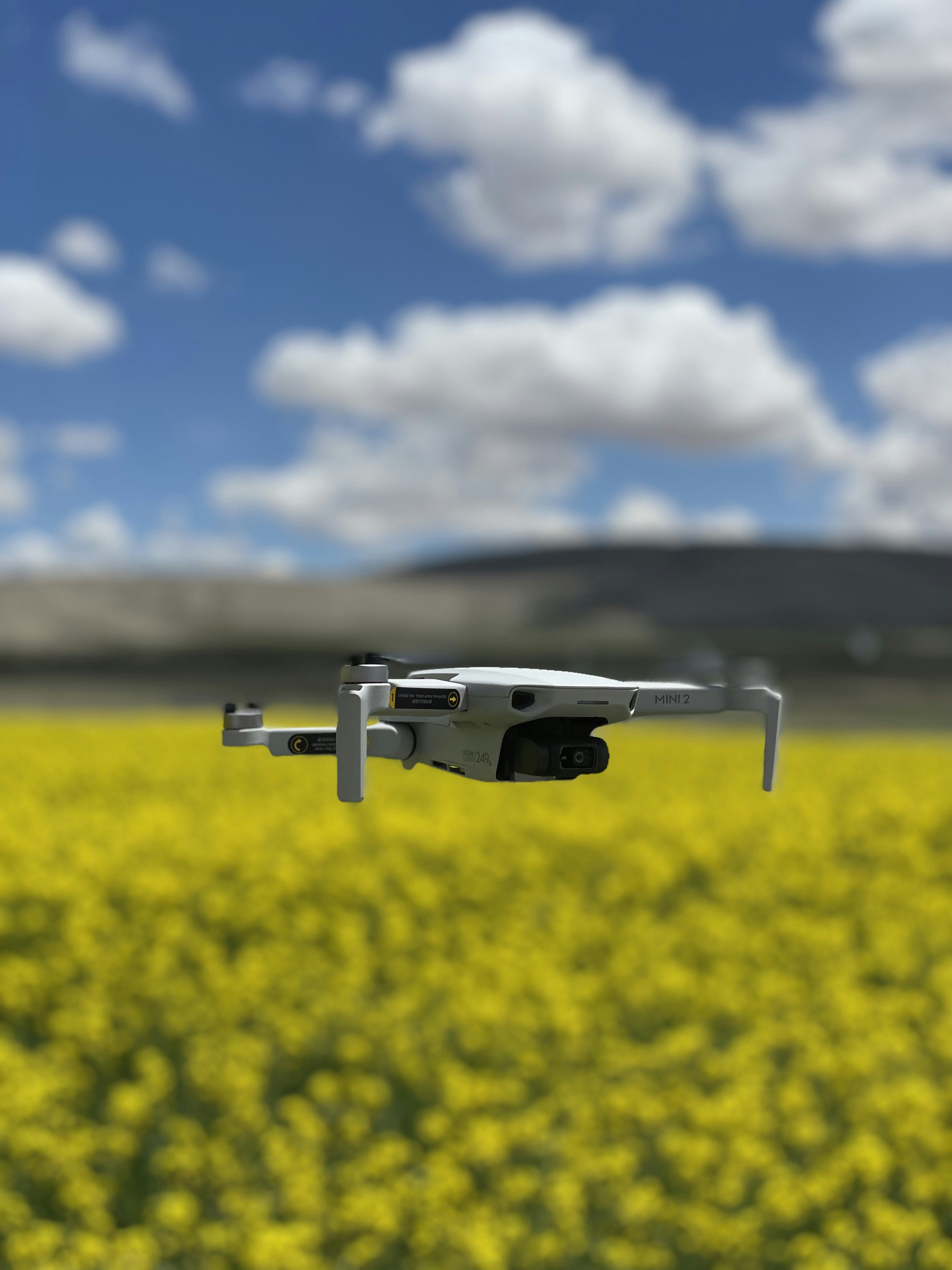
Satellite drones, also known as unmanned aerial vehicles (UAVs), have revolutionized the field of environmental surveillance, offering unprecedented capabilities in biodiversity monitoring. These advanced technologies are equipped with various sensors that allow them to capture high-resolution images and gather data across extensive areas. Unlike traditional monitoring methods, which often rely on ground surveys and manual data collection, satellite drones provide a more efficient and effective approach to environmental assessment.
One of the key advantages of using satellite drones in environmental surveillance is their ability to cover vast and challenging terrains that might be inaccessible to humans. This capability is especially crucial in remote or rugged landscapes where traditional monitoring can be time-consuming and labor-intensive. With the help of satellite drones, researchers can conduct aerial surveys quickly, thereby reducing the time and effort required for environmental assessments.
Additionally, satellite drones can gather and transmit real-time data, enabling researchers to monitor changes in biodiversity and ecological conditions instantaneously. The high-resolution imagery offered by these drones facilitates the identification of species, tracking of wildlife populations, and assessment of habitat health, which are vital components of effective environmental management.
Moreover, the data collected by satellite drones can be integrated with geographic information systems (GIS), enhancing analysis and visualization capabilities. This integration allows for comprehensive mapping and monitoring solutions that inform conservation efforts and policy decisions.
In conclusion, satellite drones are proving to be an invaluable asset in the domain of environmental surveillance, significantly enhancing the efficiency and accuracy of biodiversity monitoring across diverse ecosystems. Their ability to operate in various conditions while delivering high-quality data makes them a leading choice for researchers and conservationists alike.
Artificial Intelligence and Data Analysis
Artificial Intelligence (AI) is revolutionizing the way we interpret and utilize data collected from satellite drones in biodiversity monitoring. By leveraging advanced AI technologies such as machine learning and computer vision, researchers can extract meaningful insights from vast amounts of environmental data. This process is critical, as the vast scope of data requires sophisticated tools for effective analysis.
Machine learning algorithms are particularly valuable in identifying species from the imagery collected by satellite drones. These algorithms can be trained on extensive datasets comprised of species images, enabling them to recognize and classify different plants and animals accurately, even from a distance. As a result, this technology not only enhances the accuracy of species identification but also increases the efficiency of biodiversity assessments.
In addition to species identification, AI plays a pivotal role in monitoring population changes over time. By analyzing temporal data collected by these drones, AI systems can detect trends and anomalies in population dynamics. This allows conservationists to respond proactively to concerning changes, such as declining species numbers or migration shifts, which can be attributed to environmental factors. Moreover, AI systems can integrate various data sources, providing a comprehensive overview of ecological health.
Another significant application of AI in the realm of biodiversity monitoring is habitat condition assessment. Computer vision techniques enable AI models to analyze the landscape’s physical characteristics, identifying features such as vegetation cover, water sources, and human encroachment. This information is vital for validating the habitats’ suitability for different species and recognizing areas that require conservation efforts. The fusion of AI and satellite drone data represents a transformative approach to biodiversity monitoring, allowing for real-time analysis and informed decisions regarding ecosystem management.
Case Studies: Successful Applications
The integration of artificial intelligence (AI) and satellite drones has revolutionized biodiversity monitoring, providing researchers and conservationists with innovative tools to enhance ecological assessments. Several case studies exemplify the successful applications of these technologies in monitoring various species and habitats.
One notable project was conducted in the Amazon rainforest, where AI-powered drones were deployed to identify and track endangered species such as the jaguar. Using advanced machine learning algorithms, the drones analyzed aerial images to detect patterns in animal movement and habitat use. As a result, conservationists gained invaluable insights into the species’ behavior and its interactions with the surrounding environment. The enhanced monitoring capabilities led to targeted conservation efforts that significantly improved the jaguar population in the area.
Another compelling case took place in East Africa, where satellite drones were used to monitor elephant herds across vast savannah landscapes. Traditional monitoring methods often resulted in gaps in data and limited visibility of population dynamics. However, by utilizing AI, researchers could analyze real-time data gathered from drone imagery to assess herd sizes, health, and migration patterns. This information has been instrumental in developing effective anti-poaching strategies and protecting these majestic animals from threats.
Additionally, a project in coastal ecosystems successfully employed drone technology to monitor coral reef health. The drones, equipped with sensors and AI algorithms, were capable of collecting detailed images of reef structures and water quality indicators. This advancement enabled researchers to detect early signs of coral bleaching and assess the overall health of reef ecosystems, thereby enabling timely intervention and conservation measures.
These case studies highlight the significant impact AI and satellite drones have had on biodiversity monitoring. With continued advancement in technology, the potential to improve conservation outcomes and enrich ecological research is boundless, offering promising avenues for maintaining biodiversity worldwide.
Challenges and Limitations of AI and Drones
The integration of artificial intelligence (AI) and drone technology has revolutionized biodiversity monitoring, offering unprecedented capabilities to collect and analyze ecological data. However, this technological advancement does not come without its challenges and limitations.
One of the primary concerns revolves around data accuracy. While AI algorithms can process massive amounts of data collected via drones, the quality of this data is contingent upon numerous factors such as the resolution of the imagery, environmental conditions during the data collection, and the effectiveness of the algorithms employed. If the drone equipment malfunctions or if the AI misinterprets the data, it may lead to significant inaccuracies in biodiversity assessments, undermining conservation efforts.
Furthermore, the reliance on reliable internet connectivity poses a considerable hurdle, especially in remote areas where biodiversity often thrives but technology infrastructure is limited. Many regions, particularly in developing countries, lack sufficient internet connectivity, which restricts real-time data transmission and analysis. This limitation can hinder the timely detection of changes in ecosystems and impede the necessary swift interventions that are often required to protect vulnerable species.
Lastly, ethical implications arise concerning the surveillance of natural habitats. The deployment of drones for monitoring wildlife may infringe upon privacy for both animals and local communities. The potential for over-surveillance raises concerns about the intrusive nature of these technologies. It is vital to establish ethical guidelines that govern the use of AI and drones while ensuring that the objectives of biodiversity monitoring align with respect for natural environments and the rights of indigenous communities.
Future Trends in Biodiversity Monitoring
The field of biodiversity monitoring is poised for remarkable advancements, particularly through the integration of artificial intelligence (AI) and drone technologies. As researchers and conservationists seek to enhance their understanding of ecosystems and wildlife populations, ongoing technological innovations stand to transform the landscape of ecological monitoring.
One emerging trend is the development of more sophisticated AI algorithms capable of processing large amounts of satellite data efficiently. These algorithms can analyze changes in land cover, detect patterns in animal movements, and identify potential threats to biodiversity in near real-time. By automating data analysis, AI can significantly reduce the time required for field researchers to assess ecological changes, allowing them to focus on more strategic conservation efforts.
Moreover, the use of advanced drones equipped with high-resolution sensors and imaging technology will elevate biodiversity monitoring by providing detailed aerial views of habitats. These drones can cover vast areas quickly, enabling scientists to monitor inaccessible regions and collect critical data that informs conservation strategies. Additionally, the miniaturization of sensor technology will pave the way for deploying smaller drones that can navigate challenging environments with greater precision.
Partnerships between tech companies and conservation organizations are also gaining traction. Collaborative efforts can lead to the creation of tailored monitoring solutions that combine AI-powered analytics with practical conservation needs. Such partnerships could help standardize methodologies across different regions, ensuring that biodiversity monitoring practices are both effective and replicable worldwide.
As these advancements unfold, the synergy between AI, drone technology, and ecological research will undoubtedly enhance our capacity to monitor biodiversity. By harnessing innovative tools, we can better understand and respond to ecological challenges, ensuring more effective conservation outcomes in the face of climate change and human activity. The future of biodiversity monitoring is bright, supported by technology that empowers researchers to safeguard our planet’s invaluable ecosystems.
Policy Implications and Conservation Strategies
The integration of artificial intelligence (AI) and satellite drones into biodiversity monitoring has significant implications for conservation policies and strategies. By leveraging AI, conservationists can analyze large datasets collected by drones more efficiently, which offers enhanced insights into wildlife populations and habitat health. This technological advancement facilitates the identification of trends and patterns that are critical for biodiversity management.
Moreover, the incorporation of real-time data into decision-making processes promotes more responsive and adaptive conservation strategies. For instance, tracking species movements or habitat changes in response to climate variations can empower policymakers to implement timely interventions. Policymakers are then positioned to devise strategies that not only focus on immediate conservation needs but also consider long-term ecological sustainability.
Furthermore, using AI-driven data analytics can enhance the accuracy of environmental assessments, thereby improving the effectiveness of conservation policies. Enabling the continuous monitoring of ecosystems allows for the identification of key areas that require protection or restoration. Consequently, resources can be allocated more effectively, ensuring that conservation efforts yield maximal benefits for biodiversity preservation.
Collaboration between technological experts and ecologists is essential to maximize the potential of AI and satellite drones in biodiversity monitoring. Policymaking processes should include multidisciplinary contributions to create comprehensive strategies that are informed by scientific findings as well as technological innovations. This collaborative approach can lead to developing robust legislation that reflects the interconnectedness of biodiversity, technology, and societal needs.
In conclusion, the implications of AI and satellite drone integration extend beyond mere data collection; they reshape conservation policies and strategies. By adopting a technology-driven framework, we can enhance our responses to biodiversity loss and foster a more sustainable relationship with our natural ecosystems.
Conclusion
The integration of artificial intelligence (AI) with satellite drone technology has significantly transformed biodiversity monitoring practices. By leveraging advanced imaging and data analysis techniques, conservationists can now observe and analyze ecosystems more effectively than ever before. This synergy not only enhances the precision of biodiversity assessments but also facilitates timely interventions aimed at mitigating threats faced by various species.
Throughout our discussion, we explored how AI algorithms process vast amounts of data captured by satellite drones, identifying habitat changes, species distributions, and various ecological trends that might remain unnoticed through traditional methods. The ability to monitor these variables is crucial for developing sustainable environmental policies and strategies that aim to protect fragile ecosystems. Furthermore, the real-time reporting features of drone technology provide invaluable insights that can lead to prompt actions in conservation efforts.
As we reflect on the advancements in technology, it is essential to recognize the role of collaborative efforts between scientists, technologists, and policymakers in harnessing these tools for environmental conservation. Investing in AI-driven solutions not only paves the way for more efficient biodiversity monitoring but also fosters a deeper appreciation of our natural world. This fusion of technology and ecology presents exciting opportunities for understanding our ecosystems and making informed decisions that can lead to a healthier planet. In light of these developments, stakeholders and the broader community should actively support initiatives that utilize AI and drone technology for the sustainable management of biodiversity.